The multi-spectral thermal infrared imager with high spatial resolution
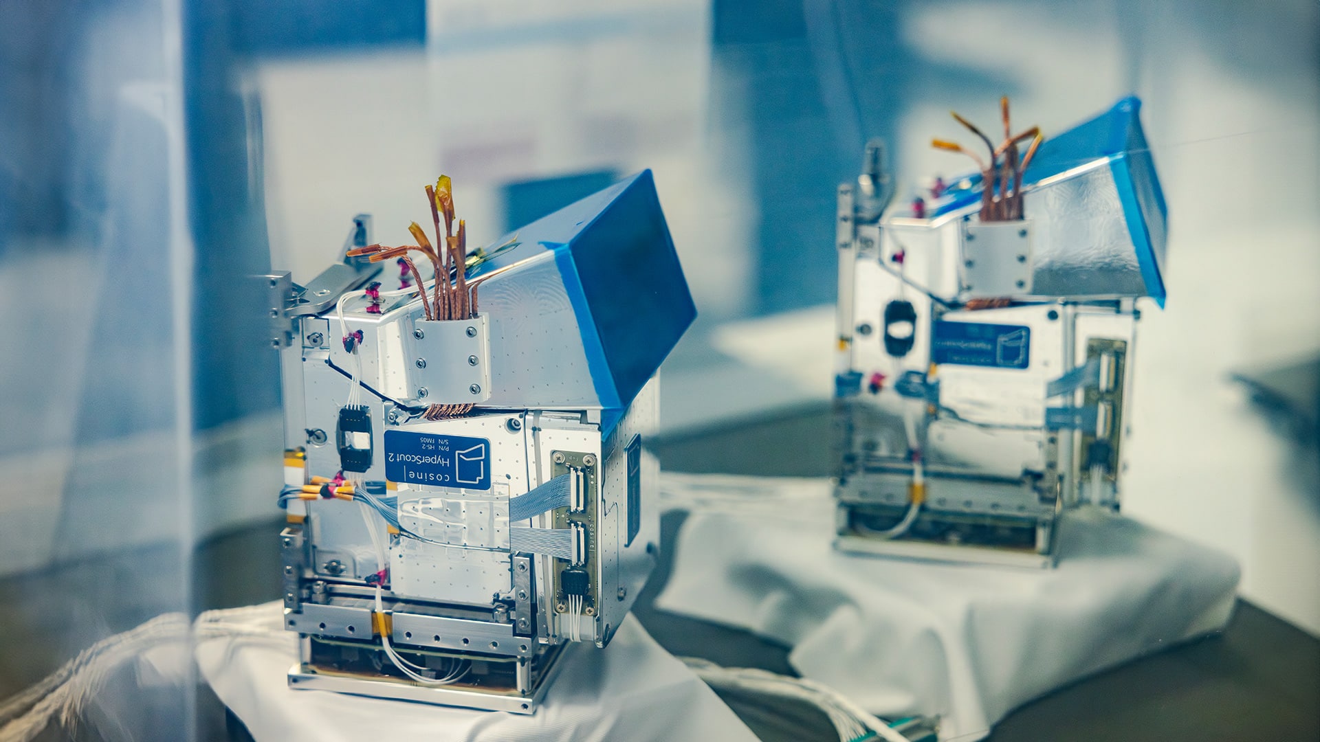
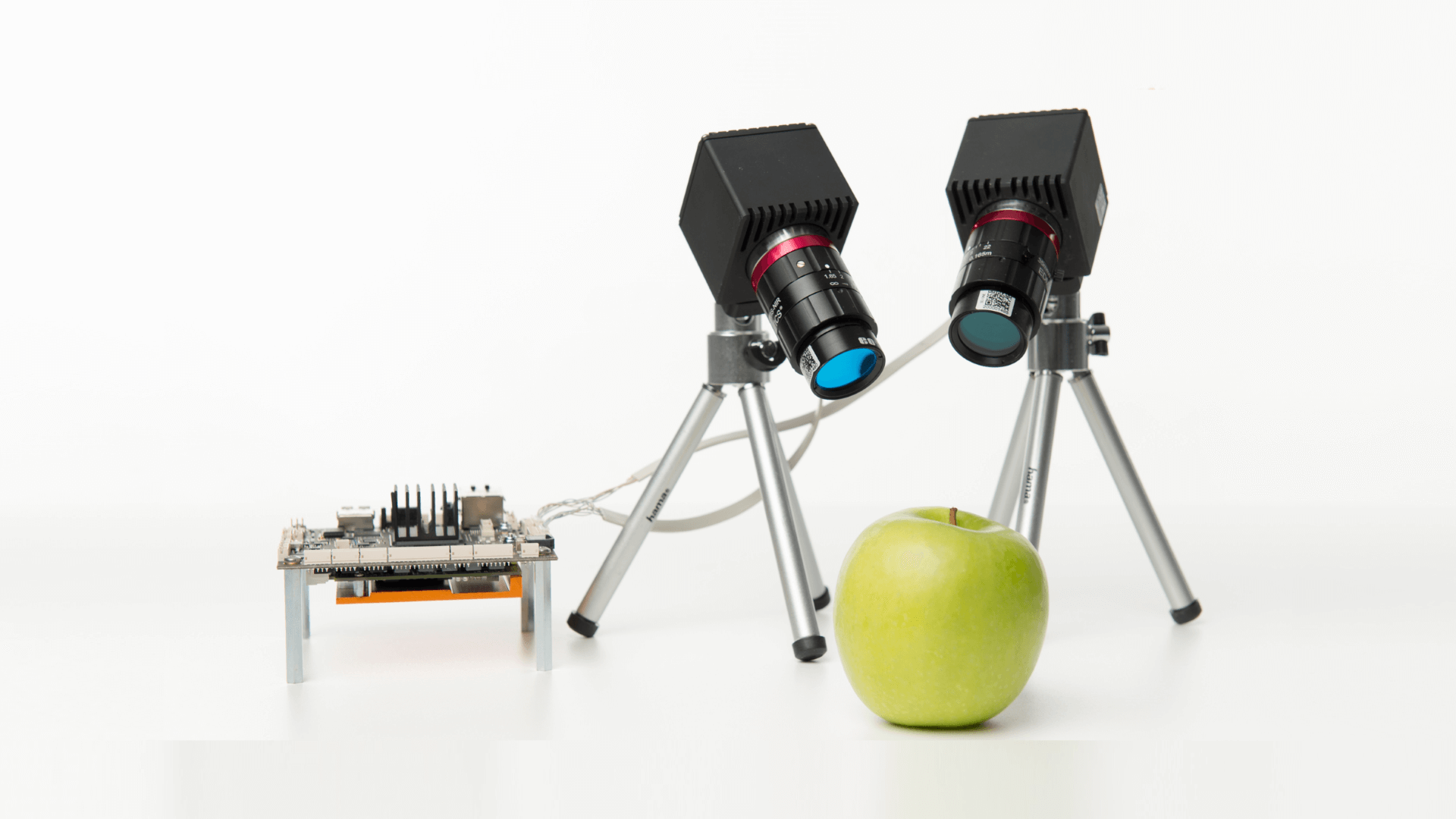
TSCOUT is the first multi-spectral infrared imager with high resolution made for small satellites. It is designed to be operated on nano, micro and larger satellites. Making use of new developments in detector technology and calibration, TSCOUT can realize high quality infrared measurements which could not previously be achieved on affordable platforms. The onboard data handling system is made for real-time data processing, enabling Level-2 generation onboard and thereby drastically reducing the amount of data to downloaded and process on Earth.
TSCOUT can fill the gap of high resolution thermal data that exists within the remote sensing community at an affordable price. The need for frequent thermal images with high spatial resolution arises from applications in agriculture, fire monitoring, urban planning and defense. TSCOUT can enable you to support use cases of mapping water scarcity in plants, irrigation advice and soil moisture mapping.
Applications
- Agriculture: Detect soil moisture, irrigation levels, water contents of plants
- Aquaculture: Detect proxies related to hydro power and tourism
- Defense & security: Assess accessibility of vehicles based on surface characteristics
- Finance & insurance: Identify (environmental) risks, land & water productivity
- Forestry: Assess fire risks, early warning, actual monitoring of fires
- Mining: Environmental impact assessment
- Oil & gas asset management: Monitoring fires and plumes
- Smart cities: Assess urban heat islands for city planning